Microgeography Consulting helps property owners and land professionals map, manage, and build with confidence. We turn complex landscape data into clear, practical insights through expert geospatial mapping and analysis.
Our work supports everything from understanding land potential and development feasibility, to navigating consent and financing. Whether identifying invasive species, planning a new build, or managing a large-scale project, Microgeography brings over a decade of geospatial and land development experience to deliver precise data for smarter decisions.
We offer a comprehensive range of Mapping Services to unlock the full potential of your land.
Geospatial Surveying
Multispectral Agriculture
GIS Based Mapping
Orthomosaic Drone Image of your Land/Farm
We offer services through the entire development lifecycle; we can assist at any stage of your project.
Land Feasibility/Suitability Analysis
Land Acquisition & Disposition
Debt and Equity Financing
Coordination of Multidisciplinary Team of Licensed Professionals: Engineers, Surveyors, etc
Resource and Building Consent
Land and Site Plan
Asset Management


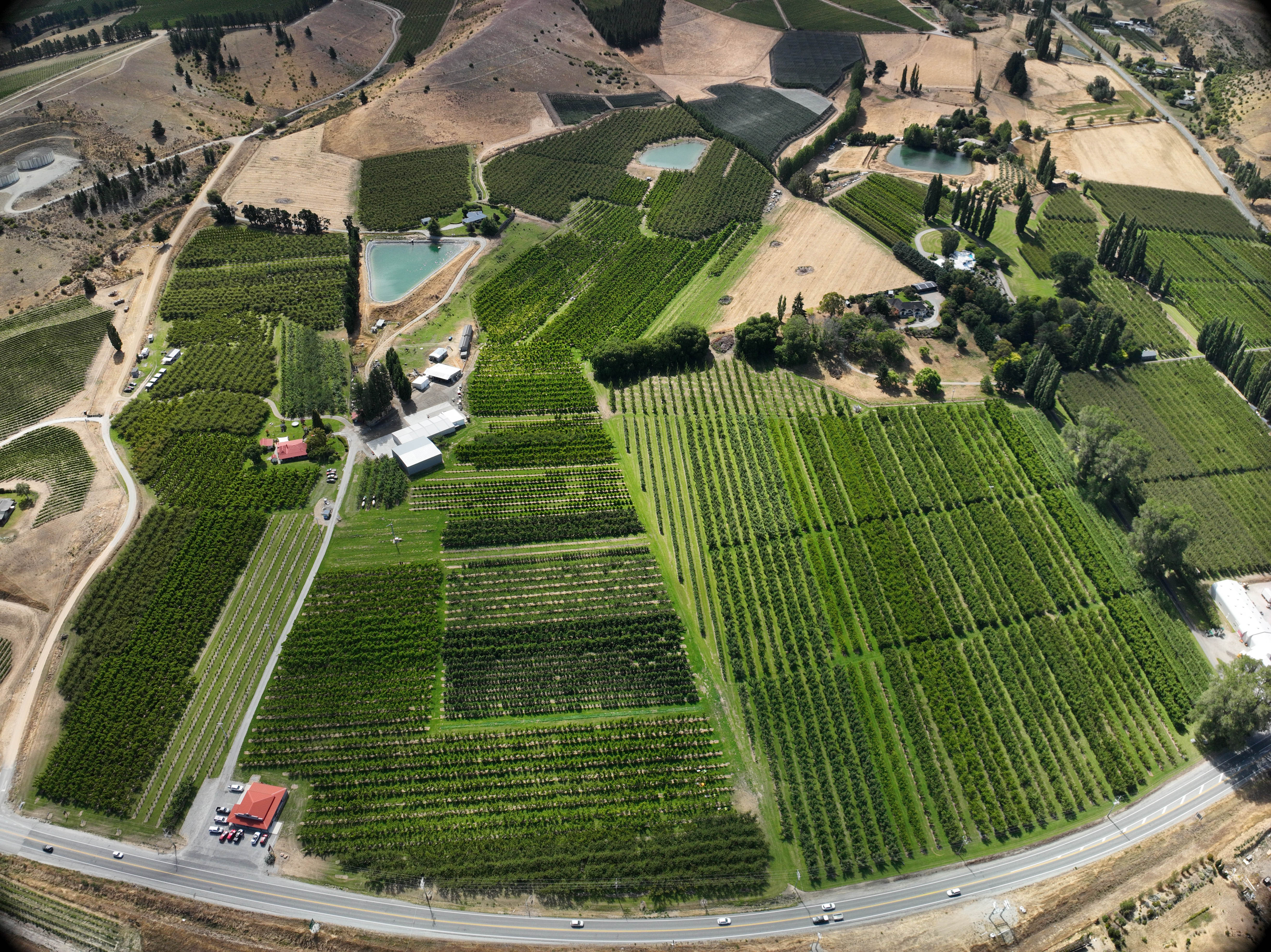
Kawau Island is located in the Hauraki Gulf, 8kms off the coast about 45km north of Auckland. The Island covers an area of approximately 5000 acres, is 8km by 5km at its longest axis.
This project focused on drone mapping, invasive plant species identification, analysis and accountability reporting, and creating a longterm weed management mapping system using multispectral drones and GPS survey points.
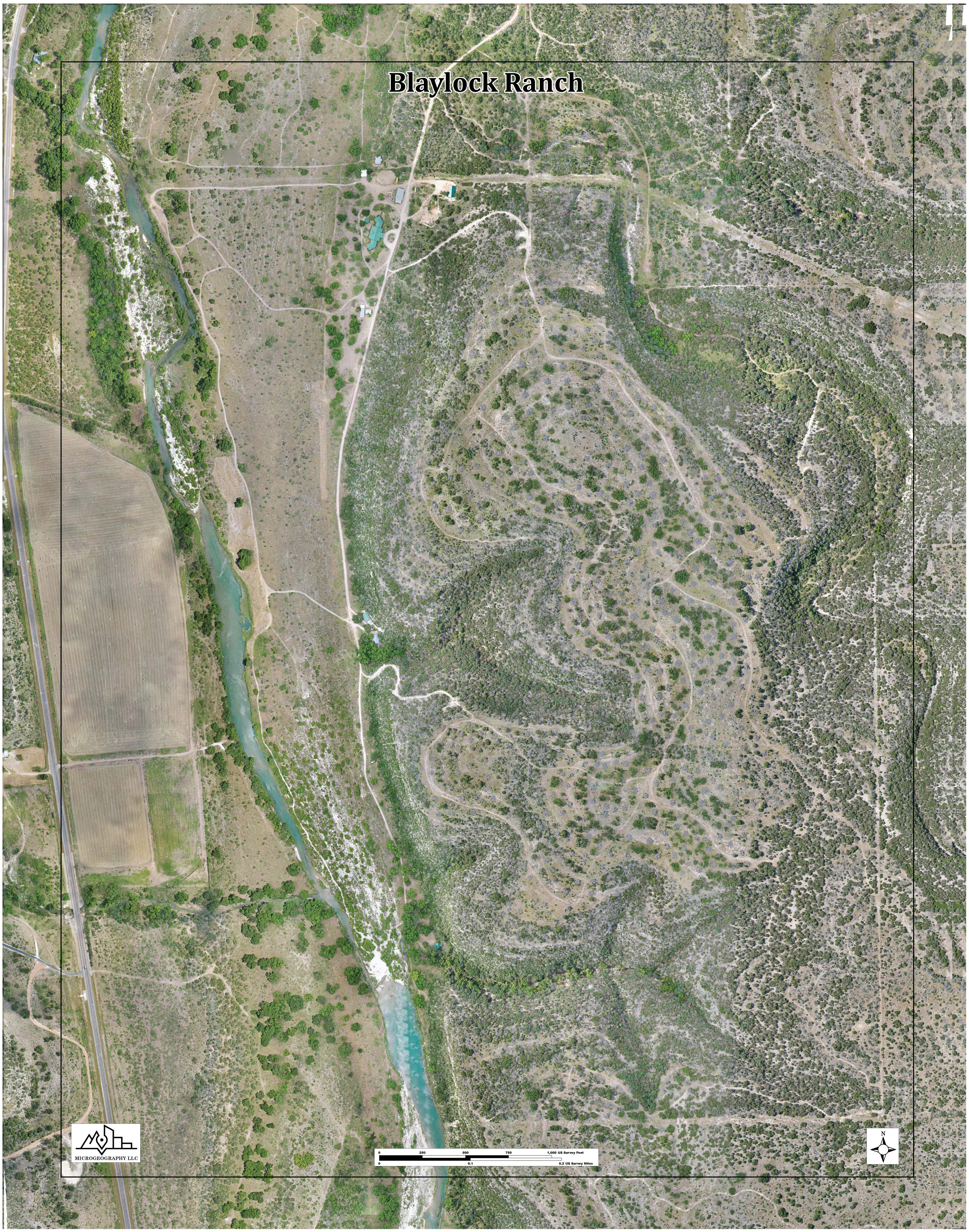
The Blaylock family owned a 450-acre ranch needing a comprehensive map for better management. Microgeography Consulting created a detailed orthomosaic canvas print as a generational heirloom, while uncovering forgotten out parcels—adding 38 acres across the river that their neighbour had managed for decades.

In central Nelson, two longtime property owners held eight adjoining rental parcels they had managed for over 40 years. Planning for retirement, they wanted to consolidate and sell but didn’t know where to start. Microgeography Consulting mapped their combined land, identified its higher redevelopment potential, and prepared a clear feasibility roadmap and concept plan for a 45‑unit multifamily development—giving them a practical path forward.


If you own land and are looking to explore its potential, share a few details and I’ll be in touch to discuss how we can bring your vision to life.